How Drone Technology Is Changing Crop Monitoring (And Why Farmers Can’t Afford to Ignore It)
There’s a moment every farmer knows well — standing at the edge of a massive field, squinting into the distance, trying to figure out why that one patch of corn looks a little off. Is it a pest problem? A nutrient deficiency? Too little water, or too much? You walk out there, spend an hour poking around, and sometimes you still leave without a clear answer.
That frustrating ritual is quickly becoming a thing of the past. Drones — once the toy of tech enthusiasts and military contractors — are now hovering over farmlands around the world, changing the way farmers see, manage, and protect their crops. And the results are nothing short of remarkable.
Whether you’re managing 10 acres or 10,000, understanding how drone technology is reshaping crop monitoring could be one of the most important things you do for your farm this year.
Table of Contents
- Why Traditional Crop Monitoring Falls Short
- How Agricultural Drones Actually Work
- Key Benefits of Drone-Based Crop Monitoring
- Real-World Applications: What Drones Are Doing Right Now
- Types of Drones Used in Farming
- The Cost of Drone Technology and the ROI Farmers Are Seeing
- How to Get Started with Drones on Your Farm
- Challenges and Limitations to Know Before You Buy
- The Future of Drone Technology in Agriculture
- Frequently Asked Questions
- Final Thoughts
Why Traditional Crop Monitoring Falls Short
For generations, crop monitoring has relied on one very slow, very expensive resource: human eyes. Farmers and agronomists walk fields, observe plants, collect samples, and make educated guesses. It’s labor-intensive, time-consuming, and — more critically — it’s reactive rather than proactive.
By the time a farmer walks over to inspect an unusual patch and identifies a fungal disease, it may have already spread across several rows. By the time satellite imagery catches a stress pattern in a crop, the data might be several days old, and the weather window for treatment may have already closed.
Satellite monitoring does help, but it comes with real limitations: cloud cover blocks imaging, resolution is often too low to catch early-stage problems, and subscription costs add up. Hiring crop scouts is another option, but skilled scouts are increasingly hard to find and costly to retain.
The simple truth is that traditional methods weren’t designed to keep pace with the scale, speed, and complexity of modern farming. Drones were.
How Agricultural Drones Actually Work
Most people picture a small quadcopter buzzing around when they hear the word “drone.” Agricultural drones are often more sophisticated than that — though quadcopters do have their place on the farm.
At the core of agricultural drone technology is a combination of advanced sensors, GPS navigation, and data processing software. Here’s a quick breakdown of how a typical crop monitoring mission works:
- Pre-flight planning: The farmer (or a drone service provider) maps out the field using software on a tablet or laptop. The drone’s flight path is programmed automatically, covering every row at a consistent altitude.
- Autonomous flight: The drone takes off and follows the programmed path without manual control, capturing images or sensor data as it goes.
- Data capture: Depending on the sensor payload, the drone collects RGB imagery, multispectral data (which detects plant health invisible to the naked eye), thermal imaging, or LiDAR point clouds.
- Data processing: Images are stitched together using photogrammetry software to create detailed orthomosaic maps and 3D models. Analysis software then flags problem zones, calculates vegetation indices like NDVI (Normalized Difference Vegetation Index), and generates actionable reports.
- Decision making: The farmer reviews the data — often on a smartphone app — and decides on the appropriate intervention, whether that’s targeted irrigation, localized pesticide application, or soil sampling in specific zones.
The whole process — from flight to insight — can take just a few hours for a field that would take a person days to walk and assess manually.
Key Benefits of Drone-Based Crop Monitoring
1. Early Detection of Crop Stress and Disease
Drone sensors can detect plant stress up to two weeks before it becomes visible to the human eye. This is perhaps the most game-changing capability drones offer. A diseased plant changes its infrared reflectance before it shows any discoloration or wilting. By the time you can see the problem, you’re already behind. With multispectral imaging, you catch it while it’s still containable.
2. Precise, Targeted Interventions
One of the biggest wastes in modern agriculture is blanket application — spraying an entire field with pesticides or fertilizers when only 15% of it actually needs treatment. Drone data enables variable-rate application, meaning you treat only the areas that need it. This reduces input costs significantly and cuts chemical usage, which matters both for the environment and for your bottom line.
3. Faster Coverage of Large Areas
A drone can survey 200 to 400 acres per day. A crop scout on foot might cover 20 to 30 acres in that same time, assuming ideal conditions. The speed advantage isn’t just about efficiency — it’s about timing. In agriculture, a 48-hour delay in identifying a pest outbreak can mean the difference between a manageable problem and a catastrophic crop loss.
4. Better Data, Better Decisions
Instead of relying on gut instinct and spot-check samples, farmers using drones make decisions backed by field-wide data collected from above. Over multiple seasons, this data becomes even more valuable — historical maps reveal patterns in soil variability, drainage issues, and recurring pest hotspots that would otherwise go unnoticed.
5. Reduced Input Costs
Studies from various agricultural research institutions have found that drone-guided precision farming can reduce fertilizer use by 20–30% and pesticide use by up to 25%, depending on crop type and management practices. For a mid-sized operation spending $100,000 per year on inputs, that’s a meaningful savings.
Real-World Applications: What Drones Are Doing Right Now
Drone technology in agriculture isn’t theoretical. Farmers around the world are already using it in very practical ways.
Vineyard Management
Grape growers in California’s Napa Valley and in France’s Bordeaux region have been early adopters of drone technology. Vineyards are particularly well-suited to aerial monitoring because vine rows create a predictable grid pattern that drones can map efficiently. Growers use multispectral data to track canopy density, identify irrigation stress, and monitor for disease outbreaks like powdery mildew — all without a single person having to walk the rows.
Large-Scale Grain Farming
In the American Midwest and the Australian grain belt, large corn, soybean, and wheat operations are integrating drones into their standard scouting protocols. Some operations fly their fields every two weeks throughout the growing season, building a time-lapse picture of crop development that reveals problems early and helps optimize harvest timing.
Rice Farming in Asia
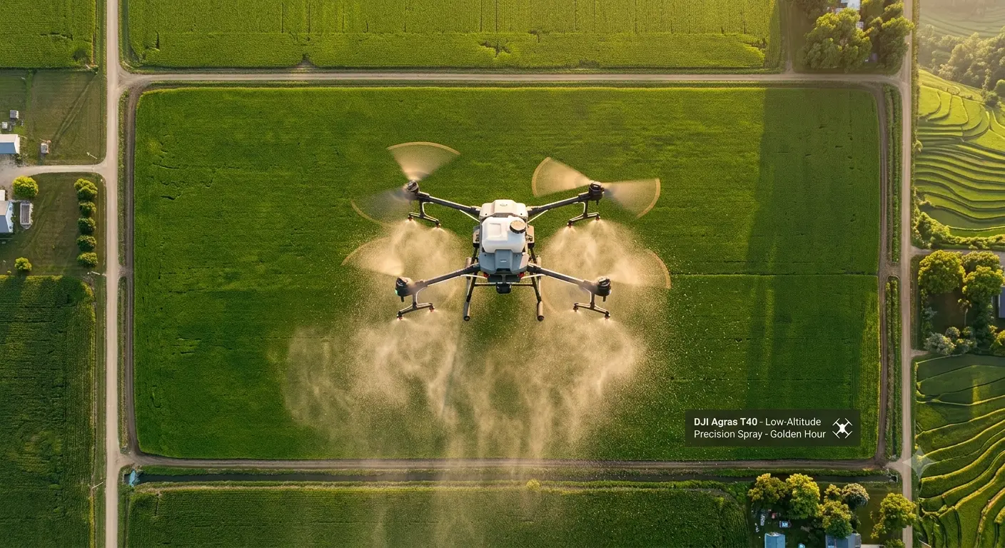
In China, Japan, and India, drone spraying for rice paddies has become widespread. Companies like DJI have developed agricultural spray drones specifically designed for this market — machines that can cover 10 acres per hour with targeted pesticide or fertilizer application, replacing backpack sprayers and reducing chemical exposure for farm workers.
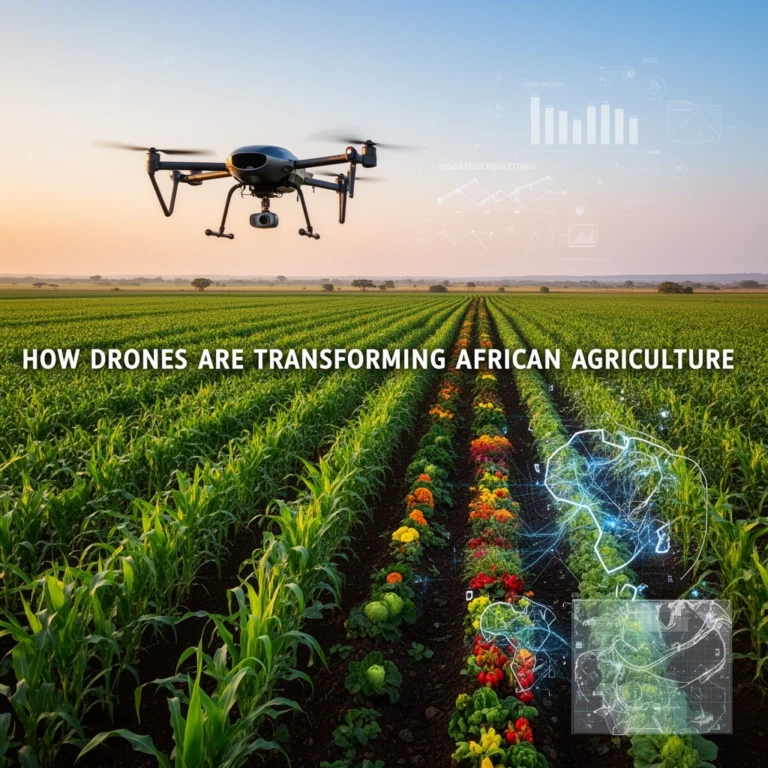
Smallholder Farming in Africa
Perhaps most importantly, drone monitoring services are beginning to reach smallholder farmers in sub-Saharan Africa and Southeast Asia through drone-as-a-service models, where farmers pay for monitoring on a per-acre basis without owning any equipment themselves. Organizations like ACRE Africa have piloted programs combining drone data with crop insurance, giving small farmers access to tools once reserved for industrial operations.
Types of Drones Used in Farming
Not all agricultural drones are the same. The right type depends on the scale of your operation, the terrain, and what you’re trying to monitor.
- Multirotor drones (quadcopters/hexacopters): Best for smaller fields and detailed imaging. Slower but highly maneuverable. Great for vineyards, orchards, and smaller row crop operations.
- Fixed-wing drones: Designed for speed and efficiency over large areas. Can cover thousands of acres in a single flight. Less versatile but ideal for large grain farms.
- Fixed-wing hybrid (VTOL) drones: Take off vertically like a multirotor, then transition to fixed-wing flight for efficiency. A growing category that combines the best of both worlds.
- Spray drones: Specifically designed for variable-rate application of pesticides, herbicides, or liquid fertilizers. DJI Agras series and XAG drones are the most widely used models globally.
The Cost of Drone Technology and the ROI Farmers Are Seeing
Let’s talk money — because that’s always the real question.
Entry-level agricultural drones with multispectral sensors start at around $3,000 to $8,000. Mid-range professional systems with better sensors and longer battery life run $10,000 to $25,000. Spray drones capable of covering hundreds of acres per day can cost $15,000 to $35,000 or more.
That sounds steep, but context matters. Consider that a single season of avoidable crop loss from an undetected disease outbreak can easily cost a mid-sized grain farmer $50,000 or more. Or that one year’s crop scouting labor costs on a large operation might run $20,000 to $40,000.
A common rule of thumb in the industry: farmers managing more than 500 acres who fly regularly can typically recoup a drone investment within two to three growing seasons through reduced input costs and improved yield management.
For smaller operations, the drone-as-a-service model makes more financial sense. Service providers typically charge $3 to $10 per acre per flight, with no upfront equipment cost or maintenance burden.
How to Get Started with Drones on Your Farm
If you’re ready to explore drone monitoring for your operation, here’s a sensible path forward:
- Start with a service provider: Before buying anything, hire a drone service company to survey your fields for one season. See what the data reveals, how you use it, and whether it changes your decision-making. This is the lowest-risk way to evaluate whether drones work for your specific crops and conditions.
- Get certified: In the United States, flying a drone commercially requires a Part 107 Remote Pilot Certificate from the FAA. The test is straightforward and costs around $175. Requirements vary in other countries, so check your local aviation authority’s rules.
- Choose the right platform: Match the drone to your operation’s scale and primary monitoring needs. Don’t buy a fixed-wing system for a 100-acre market garden.
- Invest in data analysis training: The drone is only as useful as your ability to interpret what it captures. Most drone manufacturers offer online training. Software platforms like Pix4D, DroneDeploy, and Trimble’s Ag platform have user communities and tutorials to help you develop this skill.
- Integrate with your existing records: The real power of drone data emerges when you layer it over soil maps, yield maps, and weather records. Most modern farm management software supports this kind of data integration.
Challenges and Limitations to Know Before You Buy
Drones are powerful, but they’re not magic. Honest farmers who’ve adopted the technology will tell you about the friction too.
- Weather dependency: Strong wind, rain, and low light conditions ground drones. In regions with unpredictable weather, this can limit operational windows at critical crop stages.
- Data overload: A single flight over 500 acres can generate thousands of images and gigabytes of data. Processing and interpreting that data requires time, software, and a learning curve that some farmers find overwhelming at first.
- Battery limitations: Most multirotor drones have flight times of 20 to 45 minutes per battery. Covering large fields requires multiple batteries and sometimes multiple flights per day.
- Regulatory complexity: Airspace regulations, especially near airports or in certain countries, can restrict where and when you can fly. Always check local rules before operating.
- Connectivity in rural areas: Uploading large data files from remote fields to cloud processing platforms can be slow or impossible without reliable internet access.
The Future of Drone Technology in Agriculture
The drones of today are impressive. The ones coming in the next five to ten years will be transformative in ways that are hard to fully imagine right now.
AI-powered analysis is already reducing the time between data capture and actionable insight from hours to minutes. Machine learning models are being trained to automatically identify specific pest species, disease types, and nutrient deficiencies from drone imagery — without a human expert needing to review every image.
Swarm technology — fleets of drones working in coordinated formation — is being tested at research farms, promising to cover thousands of acres simultaneously. Autonomous drones that launch, fly, collect data, land, recharge, and fly again without any human involvement are already being deployed at commercial scale in some markets.
Integration with soil sensors, weather stations, and satellite data is creating unified field intelligence platforms that give farmers a complete, real-time picture of every variable affecting their crops. Agriculture is moving toward a future where decisions are made by intelligent systems, and the farmer’s role increasingly shifts from manual labor and guesswork to interpretation and strategy.
That future isn’t decades away. For many progressive farming operations, it’s already arriving.
Frequently Asked Questions
Do I need a license to fly a drone over my own farm?
In most countries, yes — if you’re using a drone for any commercial purpose (including farm management), you’ll need some form of certification. In the U.S., that’s the FAA Part 107 license. Recreational drone flight rules are separate and generally less strict. Always check with your national aviation authority.
What is NDVI and why does it matter for crop monitoring?
NDVI stands for Normalized Difference Vegetation Index. It’s a measurement derived from multispectral drone imagery that quantifies plant health by comparing how plants reflect different wavelengths of light. Healthy, actively photosynthesizing plants reflect more near-infrared light and less visible red light. NDVI maps let farmers quickly see which parts of a field are thriving and which are stressed — often before any visible symptoms appear.
Can small farms with under 100 acres benefit from drone monitoring?
Absolutely — especially for high-value crops like vegetables, fruits, and specialty crops where early problem detection has an outsized impact on revenue. For small farms, using a drone service provider rather than buying equipment outright usually makes the most economic sense.
How often should I fly my fields?
It depends on the crop and growth stage. Most agronomists recommend flying at least every two weeks during active growing periods, with more frequent flights — weekly or even every few days — during critical stages like flowering or when disease pressure is high in the region.
Are there subsidies or grants available for agricultural drone technology?
In many countries, yes. The U.S. USDA’s EQIP program has in some years included provisions for precision agriculture technology. The EU’s Common Agricultural Policy also includes digitalization incentives. Check with your local agricultural extension office or ministry of agriculture for currently available programs in your region.
Final Thoughts
Standing at the edge of a field, squinting into the distance — that image we started with — isn’t going away entirely. There’s something irreplaceable about a farmer’s intuition, built over decades of hands-on experience with the land. But the best farmers have always been the ones willing to embrace better tools.
Drone technology doesn’t replace farming expertise. It amplifies it. It gives you eyes everywhere at once, data you can trust, and time back to make smarter decisions instead of spending it walking rows and guessing. Whether you’re managing a small specialty operation or thousands of acres of grain, there’s a drone-based monitoring solution that fits your scale, budget, and goals.
The fields of tomorrow are already being mapped from above. The question isn’t whether drone technology will become standard in agriculture — it’s whether you’ll be ahead of that curve or catching up to it.
Start small, start smart, and see what your fields look like from a new perspective.